
Annapurna Circuit via Thorong La
12 days from Kathmandu: Manang, Thorong La and Muktinath, returning through Jomsom and Pokhara. A demanding high-pass trek.
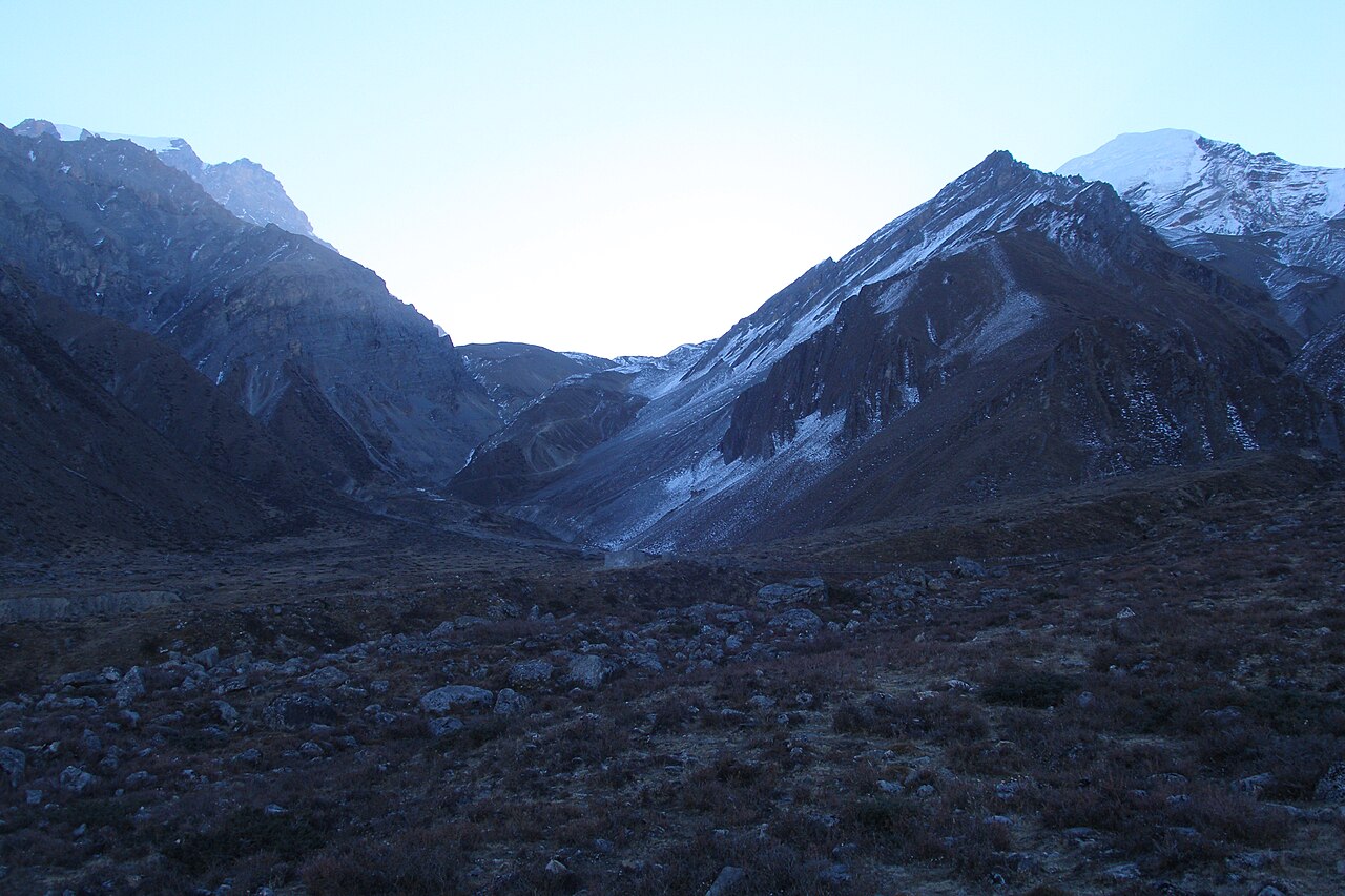
Photo: Vyacheslav Argenberg · CC BY 4.0
About this spot
Access check, 14 September 2026: Kathmandu-Pokhara road disruption was reported; confirm the operating route before departure. [access]
A road-assisted Annapurna Circuit crossing from the Manang side to Mustang. The classic route continues much farther on foot; this version ends the main walk around Jomsom and returns by road. [circuit] Tilicho is a separate listing: combining both requires additional days, not squeezing the lake into the Manang rest day.
TRIP AT A GLANCE
12 days, Kathmandu to Kathmandu.
Difficulty: Demanding: a 5,416 m pass and a long descent.
High point: Thorong La, approximately 5,416 m.
Season: March-May and October-November; only cross with suitable weather.
Keep at least 2-3 extra days; never sacrifice acclimatization to catch transport.
DAY-BY-DAY ITINERARY
Suggested planning stages, not guaranteed departures. Walking hours and elevations are approximate; your pace, weather and road access may change the plan.
Day 1 - Kathmandu to Besisahar
Travel by morning bus or microbus. Sleep in Besisahar and arrange a shared jeep for the next day.
Day 2 - Besisahar to Chame
Allow a full day for the rough-road jeep journey. Sleep around 2,670 m. Confirm the current roadhead first. [circuit]
Day 3 - Chame to Pisang
Walk roughly 5-6 hours. Sleep around Lower Pisang, about 3,200 m. [circuit]
Day 4 - Pisang to Manang
Use the valley route via Braga for a moderate day, roughly 5-6 hours; sleep around 3,540 m. The higher Ngawal route is longer. [circuit-stages]
Day 5 - Manang acclimatization
Stay a second night. Take only a gentle local excursion if well and return to the same sleeping altitude. [circuit]
Day 6 - Manang to Gunsang
A deliberately short uphill stage, about 2-3 hours, to roughly 3,950 m. Confirm lodge availability before leaving. [circuit-stages]
Day 7 - Gunsang to Yak Kharka
Continue for about 2-3 hours to roughly 4,050 m. Use the short day to rest and check the pass forecast. [circuit-stages]
Day 8 - Yak Kharka to Thorong Phedi
Walk around 3-4 hours to roughly 4,450 m. Sleep at Phedi rather than automatically climbing to High Camp. [circuit]
Day 9 - Thorong La to Muktinath
With local clearance and good conditions, start early for the 5,416 m crossing. Allow 8-10 hours to descend to Muktinath, around 3,760 m. [circuit]
Day 10 - Muktinath to Jomsom
Walk via Jharkot and Kagbeni if well, allowing 6-8 hours, or arrange a local vehicle. Sleep in Jomsom, about 2,720 m. [circuit-stages]
Day 11 - Jomsom to Pokhara
Take a booked bus or jeep; this is a full travel day on a variable road. Sleep in Pokhara.
Day 12 - Pokhara to Kathmandu
Return by daytime bus on the confirmed operating route.
PLANNING FROM KATHMANDU
Ask separately for shared seats on the Besisahar-Chame and Jomsom-Pokhara legs. Carry cash before entering Manang. For a mixed-experience friend group, plan around the slowest walker and book a guide familiar with the pass. Do not equate good fitness in Kathmandu with acclimatization. Ask the lodge to check Phedi beds and the next day's route before committing uphill.
ENTRY AND IDENTIFICATION
Carry Nepali citizenship/national ID and check the Nepali entry category locally. Do not assume foreign-package permit charges apply. [fees]
TRAIL NOTES
Snow, wind and poor visibility can stop the crossing. Turning back toward Manang is a valid outcome. Do not move higher simply because a booking is paid. Do not ascend with altitude symptoms; descend if worsening and seek medical help. [altitude]
SOURCES
Research checked 2026-09-14. The day plan is JamJam's adaptation of these route references for Nepali travellers.
[circuit] Himalaya Trip: Annapurna Circuit Trek. Undated page.
https://himalayatrip.com/annapurna-circuit-t…
[circuit-stages] Visit Himalaya Treks: The Original Annapurna Circuit Trek. Undated page.
https://www.visithimalayastrek.com/annapurna…
[access] The Tourism Times (reporting TAAN's September 10 update): Most trekking destinations safe, but access routes still disrupted: TAAN. 2026-09-11.
https://www.thetourismtimes.com/news/travel-…
[fees] Nepal Tourism Board: Park Entry Fees. Undated page.
https://ntb.gov.np/plan-your-trip/before-you…
[altitude] Himalayan Rescue Association Nepal: Health Problems. Undated page.
https://himalayanrescue.org/health-problems
Location
Manang to Muktinath, Mustang, ManangManang to Muktinath, Mustang, Nepal. Destination: Thorong La Pass Nepal. Nearby settlement / discovery location: Manang. The suggested journey starts and ends in Kathmandu.
Open in Google Maps